Geolocate

Waitaki River topographic map

Click on the map to display elevation.

About this map

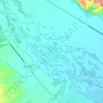
Name: Waitaki River topographic map, elevation, terrain.

Location: Waitaki River, Waimate District, Canterbury, New Zealand (-44.82105 170.53809 -44.78567 170.60552)

Average elevation: 178 m

Minimum elevation: 153 m

Maximum elevation: 414 m

Other topographic maps

Click on a map to view its topography, its elevation and its terrain.

Waimate

New Zealand > Canterbury > Waimate District

Average elevation: 100 m

Glenavy

New Zealand > Canterbury > Waimate District

Average elevation: 23 m

Studholme

New Zealand > Canterbury > Waimate District

Average elevation: 15 m

Waimate

New Zealand > Canterbury > Waimate District

Average elevation: 100 m

Lothian

New Zealand > Canterbury > Waimate District

Average elevation: 377 m

Morven

New Zealand > Canterbury > Waimate District

Average elevation: 22 m

Gear up for your next adventure:

👟Trail Running Shoes - Agile footwear for fast-paced topographic exploration
🧦Hiking Socks - Moisture-wicking and comfortable socks for long hikes
🧥Ultralight Puffy Jacket - Maximum warmth that packs down to the size of an orange
🥾Waterproof Hiking Boots - Boots keeping your feet dry in wet conditions
👖Convertible Hiking Pants - Zip-off legs to adapt to changing weather conditions

As an Amazon Associate, this site earns from qualifying purchases at no extra cost to you.