Geolocate

Morven topographic map

Click on the map to display elevation.

About this map

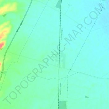
Name: Morven topographic map, elevation, terrain.

Location: Morven, Waimate District, Canterbury, New Zealand (-44.83778 171.08821 -44.79778 171.12821)

Average elevation: 22 m

Minimum elevation: 9 m

Maximum elevation: 73 m

Other topographic maps

Click on a map to view its topography, its elevation and its terrain.

Gear up for your next adventure:

🧤Thermal Hiking Gloves - Grip-enhanced gloves for cold-weather altitude trekking
🧤Rechargeable Heated Gloves - Extreme warmth for Canadian winter expeditions
🧣Evaporative Cooling Towel - Beat the heat during intense summer climbs
👖Convertible Hiking Pants - Zip-off legs to adapt to changing weather conditions
🔋Lithium AA Batteries - Long-lasting power that performs in extreme cold

As an Amazon Associate, this site earns from qualifying purchases at no extra cost to you.