Geolocate

Studholme topographic map

Click on the map to display elevation.

About this map

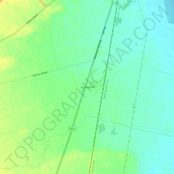
Name: Studholme topographic map, elevation, terrain.

Location: Studholme, Waimate District, Canterbury, New Zealand (-44.74760 171.10251 -44.70760 171.14251)

Average elevation: 15 m

Minimum elevation: 0 m

Maximum elevation: 40 m

Other topographic maps

Click on a map to view its topography, its elevation and its terrain.

Gear up for your next adventure:

🧭GPS Outdoor Watch - Smart watch for navigation and fitness tracking in nature
🧣Evaporative Cooling Towel - Beat the heat during intense summer climbs
💡Solar Camping Lamp - Eco-friendly lighting for campsites
🧥Fleece Jacket - Warm and lightweight jacket for layering
🧥Thermal Layer - Insulating layer for cold outdoor conditions

As an Amazon Associate, this site earns from qualifying purchases at no extra cost to you.