
Lanin topographic map
Interactive map
Click on the map to display elevation.
About this map
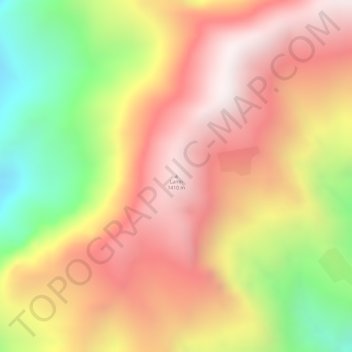
Name: Lanin topographic map, elevation, terrain.
Location: Lanin, Cāchār, Dima Hasao district, Assam, Inde (25.09092 93.24696 25.09102 93.24706)
Average elevation: 1,053 m
Minimum elevation: 496 m
Maximum elevation: 1,428 m
Other topographic maps
Click on a map to view its topography, its elevation and its terrain.
Triangular Pond
Inde > Assam > Golaghat > Golaghat
Triangular Pond, Amolapatty Region — Amolapatty Old, AMOLAPATTY — OLD, Golaghat, Assam, 785621, Inde
Average elevation: 100 m