
Jalah topographic map
Interactive map
Click on the map to display elevation.
About this map
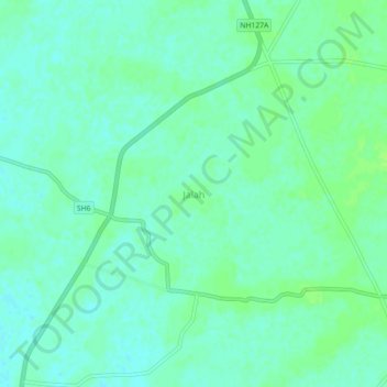
Name: Jalah topographic map, elevation, terrain.
Location: Jalah, Jalah (Pt), Baksa, Assam, 781328, Inde (26.63181 91.18028 26.67181 91.22028)
Average elevation: 53 m
Minimum elevation: 48 m
Maximum elevation: 59 m