
Grey Highlands topographic map
Interactive map
Click on the map to display elevation.
About this map
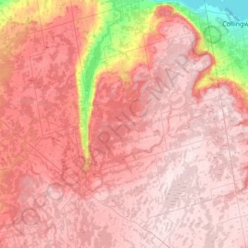
Name: Grey Highlands topographic map, elevation, terrain.
Location: Grey Highlands, Grey County, Ontario, Canada (44.17104 -80.70328 44.53740 -80.22912)
Average elevation: 428 m
Minimum elevation: 173 m
Maximum elevation: 543 m
Grey County trails, hiking, mountain biking, running and outdoor activities
Other topographic maps
Click on a map to view its topography, its elevation and its terrain.