Geolocate

Inverness topographic maps

Click on a map to view its topography, its elevation and its terrain.

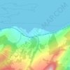
Bunchrew

United Kingdom > Scotland > Highland > Inverness

Average elevation: 66 m

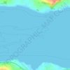
Beauly Firth

United Kingdom > Scotland > Highland > Inverness

Average elevation: 4 m

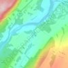
Scaniport

United Kingdom > Scotland > Highland > Inverness

Average elevation: 85 m

Loch Ashie

United Kingdom > Scotland > Highland > Inverness

Average elevation: 228 m

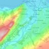
River Ness

United Kingdom > Scotland > Highland > Inverness

Average elevation: 69 m

Culloden

United Kingdom > Scotland > Highland > Inverness

Average elevation: 51 m

Gear up for your next adventure:

🧢Outdoor Cap - Protective cap for sun and rain during hikes
🧥Waterproof Pants - Keep dry during rainy hiking conditions
🏃Hydration Running Vest - Carry water and maps close to your body for speed
🎒Fully Waterproof Backpack - Total protection for photography gear and electronics
🛰️Satellite Messenger - Emergency communication for areas with no cell service

As an Amazon Associate, this site earns from qualifying purchases at no extra cost to you.