
Evje og Hornnes topographic map
Interactive map
Click on the map to display elevation.
About this map
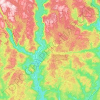
Name: Evje og Hornnes topographic map, elevation, terrain.
Location: Evje og Hornnes, Agder, Norway (58.44183 7.51324 58.73127 8.11213)
Average elevation: 409 m
Minimum elevation: 157 m
Maximum elevation: 801 m
Other topographic maps
Click on a map to view its topography, its elevation and its terrain.