
Sapaya topographic map
Click on the map to display elevation.
About this map
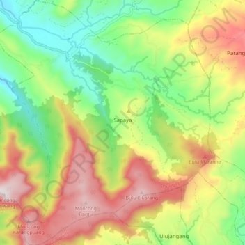
Name: Sapaya topographic map, elevation, terrain.
Location: Sapaya, Bungaya, Gowa, South Sulawesi, Sulawesi, Indonesia (-5.42939 119.70827 -5.34410 119.78591)
Average elevation: 677 m
Minimum elevation: 320 m
Maximum elevation: 1,131 m
Other topographic maps
Click on a map to view its topography, its elevation and its terrain.