Geolocate

Pekkabata topographic map

Click on the map to display elevation.

About this map

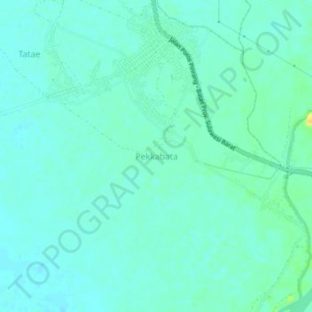
Name: Pekkabata topographic map, elevation, terrain.

Location: Pekkabata, Pinrang, South Sulawesi, Sulawesi, Indonesia (-3.69838 119.51351 -3.65838 119.55351)

Average elevation: 9 m

Minimum elevation: 2 m

Maximum elevation: 30 m

Other topographic maps

Click on a map to view its topography, its elevation and its terrain.

Gear up for your next adventure:

🧢Beanie Hat - Keep your head warm in cold weather
Backpacking Tent - Lightweight tent for long-distance hiking trips
🏃Hydration Running Vest - Carry water and maps close to your body for speed
🥾Hiking Shorts - Breathable shorts suitable for summer hikes
🧼Travel Hand Sanitizer - Keep hands clean when water is scarce

As an Amazon Associate, this site earns from qualifying purchases at no extra cost to you.