
Pinrang topographic map
Click on the map to display elevation.
About this map
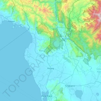
Name: Pinrang topographic map, elevation, terrain.
Location: Pinrang, South Sulawesi, Sulawesi, Indonesia (-4.04377 119.43142 -3.27032 119.78607)
Average elevation: 334 m
Minimum elevation: -3 m
Maximum elevation: 3,414 m
Other topographic maps
Click on a map to view its topography, its elevation and its terrain.