
Lauwa topographic map
Click on the map to display elevation.
About this map
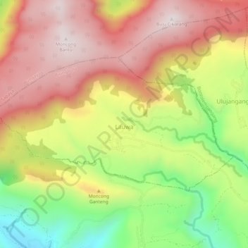
Name: Lauwa topographic map, elevation, terrain.
Location: Lauwa, Biringbulu, Gowa, South Sulawesi, Sulawesi, Indonesia (-5.44274 119.72577 -5.41810 119.77165)
Average elevation: 736 m
Minimum elevation: 311 m
Maximum elevation: 1,084 m
Other topographic maps
Click on a map to view its topography, its elevation and its terrain.