Geolocate

O'Neil topographic map

Click on the map to display elevation.

About this map
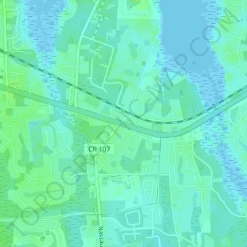
Name: O'Neil topographic map, elevation, terrain.

Location: O'Neil, Nassau County, Florida, 32034, United States (30.60746 -81.52426 30.62746 -81.50426)

Average elevation: 4 m

Minimum elevation: -2 m

Maximum elevation: 11 m

Other topographic maps

Click on a map to view its topography, its elevation and its terrain.

Callahan

United States > Florida > Nassau County

Average elevation: 6 m

Yulee

United States > Florida > Nassau County > Yulee

Average elevation: 6 m

Hilliard

United States > Florida > Nassau County

Average elevation: 21 m

Yulee

United States > Florida > Nassau County

Average elevation: 6 m

Gear up for your next adventure:

🧭GPS Handheld Device - Reliable GPS navigation for outdoor adventures
🚲MTB Frame Bag - Carry tools and maps directly on your bicycle frame
🚲Bike Repair Kit - Essential tools for on-trail mechanical issues
🧼Travel Hand Sanitizer - Keep hands clean when water is scarce
💧Hydration Bladder - Hands-free hydration solution for long treks

As an Amazon Associate, this site earns from qualifying purchases at no extra cost to you.