Geolocate

Hilliard topographic map

Click on the map to display elevation.

About this map

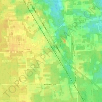
Name: Hilliard topographic map, elevation, terrain.

Location: Hilliard, Nassau County, Florida, 32046, United States (30.66133 -81.93989 30.70717 -81.89492)

Average elevation: 21 m

Minimum elevation: 2 m

Maximum elevation: 33 m

Other topographic maps

Click on a map to view its topography, its elevation and its terrain.

Kings Ferry

United States > Florida > Nassau County

Average elevation: 4 m

Hero

United States > Florida > Nassau County

Average elevation: 5 m

Chester

United States > Florida > Nassau County

Average elevation: 4 m

Gear up for your next adventure:

🧢Hiking Hat - Sun-protective and breathable hats for long treks
💡Compact LED Flashlight - Powerful and portable flashlight for outdoor use
🔦LED Flashlight - Powerful and long-lasting flashlight for camping and emergencies
🛶Canoe Life Vest - Safety vest for water sports
Camping Essentials - All-in-one gear for a comfortable camping trip

As an Amazon Associate, this site earns from qualifying purchases at no extra cost to you.