Geolocate

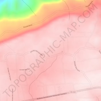
Pará topographic map

Click on the map to display elevation.

About this map
Other topographic maps

Click on a map to view its topography, its elevation and its terrain.

Inhari

Brasil > Ceará > Viçosa do Ceará

Average elevation: 705 m

Quatiguaba

Brasil > Ceará > Viçosa do Ceará

Average elevation: 600 m

Lambedouro

Brasil > Ceará > Viçosa do Ceará

Average elevation: 213 m

General Tibúrcio

Brasil > Ceará > Viçosa do Ceará

Average elevation: 221 m

Lambedouro

Brasil > Ceará > Viçosa do Ceará

Average elevation: 415 m

Gear up for your next adventure:

🥾Waterproof Trail Shoes - Shoes designed to handle wet terrain
🏕️Camping Hammock - Integrated protection for sleeping between trees
❄️Traction Ice Cleats - Slip-on spikes for icy trails and winter hiking
🧥Fleece Jacket - Warm and lightweight jacket for layering
🧭GPS Outdoor Watch - Smart watch for navigation and fitness tracking in nature

As an Amazon Associate, this site earns from qualifying purchases at no extra cost to you.