Geolocate

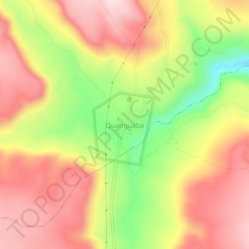
Quatiguaba topographic map

Click on the map to display elevation.

About this map
Other topographic maps

Click on a map to view its topography, its elevation and its terrain.

Açude Oiticicas

Brasil > Ceará > Viçosa do Ceará > Lambedouro

Average elevation: 153 m

Lambedouro

Brasil > Ceará > Viçosa do Ceará

Average elevation: 415 m

Pará

Brasil > Ceará > Viçosa do Ceará

Average elevation: 754 m

Gear up for your next adventure:

🧥Fleece Jacket - Warm and lightweight jacket for layering
⛺Tent Footprint - Protect tent floor and increase durability
🧰Survival Kit - Essential gear for emergencies in the wilderness
🧣Merino Neck Gaiter - Protects against wind, sun, and cold at high altitudes
🕶️Polarized Sunglasses - Reduces glare from snow and water at high elevations

As an Amazon Associate, this site earns from qualifying purchases at no extra cost to you.