Geolocate

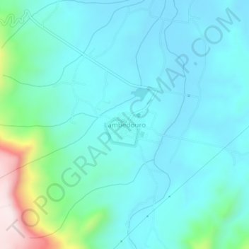
Lambedouro topographic map

Click on the map to display elevation.

About this map
Other topographic maps

Click on a map to view its topography, its elevation and its terrain.

Açude Oiticicas

Brasil > Ceará > Viçosa do Ceará > Lambedouro

Average elevation: 153 m

Lambedouro

Brasil > Ceará > Viçosa do Ceará

Average elevation: 415 m

Pará

Brasil > Ceará > Viçosa do Ceará

Average elevation: 754 m

Gear up for your next adventure:

🥾Light Trekking Boots - Supportive boots for multi-day treks
💧Collapsible Water Bottle - Space-saving water bottle for outdoor activities
🚲Handlebar Phone Mount - View topographic-map.com live while cycling
⛺Tent Footprint - Protect tent floor and increase durability
🧼Biodegradable Camp Soap - Environmentally friendly cleaning for gear and body

As an Amazon Associate, this site earns from qualifying purchases at no extra cost to you.