Geolocate

Waterside topographic map

Click on the map to display elevation.

About this map

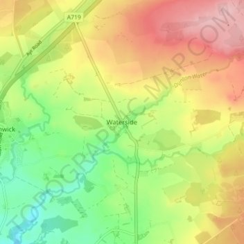
Name: Waterside topographic map, elevation, terrain.

Location: Waterside, East Ayrshire, Scotland, KA3 6JW, United Kingdom (55.64287 -4.42933 55.68287 -4.38933)

Average elevation: 168 m

Minimum elevation: 92 m

Maximum elevation: 250 m

Other topographic maps

Click on a map to view its topography, its elevation and its terrain.

River Doon

United Kingdom > Scotland > East Ayrshire > Dalrymple

Average elevation: 168 m

River Ayr

United Kingdom > Scotland > East Ayrshire

Average elevation: 210 m

Glenbuck Loch

United Kingdom > Scotland > East Ayrshire

Average elevation: 327 m

Braid Wood

United Kingdom > Scotland > East Ayrshire

Average elevation: 114 m

Loch Doon

United Kingdom > Scotland > East Ayrshire

Average elevation: 291 m

Gear up for your next adventure:

🧭Orienteering Kit - Tools for map reading and navigation in the wild
🧴Waterproofing Spray - Restore the DWR coating on jackets and tents
🧥Fleece Jacket - Warm and lightweight jacket for layering
🧦Merino Wool Socks - Moisture-wicking comfort for long-distance hiking
🥾Mountain Hiking Shoes - Shoes with superior grip for mountainous terrain

As an Amazon Associate, this site earns from qualifying purchases at no extra cost to you.