Geolocate

Mosheim topographic map

Click on the map to display elevation.

About this map

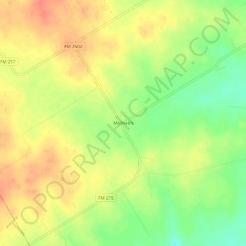
Name: Mosheim topographic map, elevation, terrain.

Location: Mosheim, Bosque County, Texas, United States (31.60627 -97.62002 31.64627 -97.58002)

Average elevation: 286 m

Minimum elevation: 257 m

Maximum elevation: 308 m

Other topographic maps

Click on a map to view its topography, its elevation and its terrain.

Lake Whitney

United States > Texas > Bosque County

Average elevation: 193 m

Valley Mills

United States > Texas > Bosque County

The airport covers 90 acres (36 ha) at an elevation of 751 feet (229 m) above mean sea level (AMSL), and has two runways.

Average elevation: 191 m

Clifton

United States > Texas > Bosque County

Average elevation: 218 m

Meridian

United States > Texas > Bosque County

Average elevation: 245 m

Bosque County

United States > Texas > Bosque County

Average elevation: 265 m

Gear up for your next adventure:

💡LED Headlamp - Hands-free illumination for night hiking and camping
👟Leg Gaiters - Keep debris, mud, and snow out of your boots
🧶550 Survival Paracord - Versatile utility cord for emergency repairs and rigging
🔭Compact Monocular - One-handed bird watching and trail spotting
👖Convertible Hiking Pants - Zip-off legs to adapt to changing weather conditions

As an Amazon Associate, this site earns from qualifying purchases at no extra cost to you.