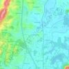
Scott County topographic map
Click on the map to display elevation.
About this map

Name: Scott County topographic map, elevation, terrain.
Location: Scott County, East Tennessee, Tennessee, United States (36.16299 -84.78568 36.60341 -84.24923)
Average elevation: 493 m
Minimum elevation: 252 m
Maximum elevation: 1,039 m
Other topographic maps
Click on a map to view its topography, its elevation and its terrain.

Eastdale
United States > Tennessee > Hamilton County > Chattanooga > Ridgeside
Average elevation: 237 m
Shepherd Forest
United States > Tennessee > Hamilton County > Signal Mountain
Average elevation: 459 m






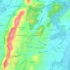
Hillsboro Heights
United States > Tennessee > Hamilton County > Chattanooga > Ridgeside
Average elevation: 235 m

Fontaine Village
United States > Tennessee > Hamilton County > Chattanooga > Red Bank
Average elevation: 335 m

Norcross Hills
United States > Tennessee > Hamilton County > Chattanooga > Red Bank
Average elevation: 239 m


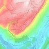

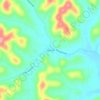
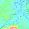








Ridgedale
United States > Tennessee > Hamilton County > Chattanooga > Ridgeside
Average elevation: 234 m





Barfield Crescent Park
United States > Tennessee > Rutherford County > Murfreesboro
Average elevation: 201 m