Geolocate

Normal topographic map

Click on the map to display elevation.

About this map

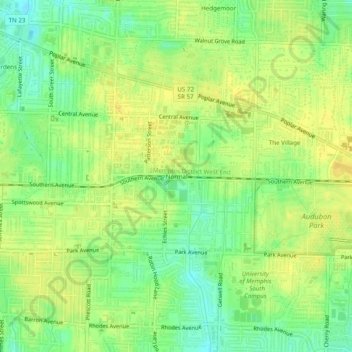
Name: Normal topographic map, elevation, terrain.

Location: Normal, Memphis, Shelby County, West Tennessee, Tennessee, 38152, United States (35.09620 -89.95676 35.13620 -89.91676)

Average elevation: 93 m

Minimum elevation: 79 m

Maximum elevation: 103 m

Other topographic maps

Click on a map to view its topography, its elevation and its terrain.

Graceland

United States > Tennessee > Shelby County > Memphis

Average elevation: 87 m

Graceland

United States > Tennessee > Shelby County > Memphis

Average elevation: 87 m

Gear up for your next adventure:

💧Hydration Pack - Hands-free hydration system for long hikes
🧶550 Survival Paracord - Versatile utility cord for emergency repairs and rigging
🥾Waterproof Hiking Boots - Essential footwear for rugged terrain and wet Canadian trails
Family Camping Tent - Spacious tent suitable for family camping trips
🧴First Aid Kit - Essential first aid supplies for outdoor emergencies

As an Amazon Associate, this site earns from qualifying purchases at no extra cost to you.