Geolocate

Bukit Temiang topographic map

Click on the map to display elevation.

About this map

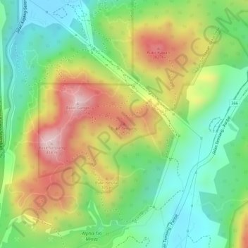
Name: Bukit Temiang topographic map, elevation, terrain.

Location: Bukit Temiang, Seremban, Negeri Sembilan, Malaysia (2.78492 101.93086 2.78502 101.93096)

Average elevation: 221 m

Minimum elevation: 84 m

Maximum elevation: 396 m

Other topographic maps

Click on a map to view its topography, its elevation and its terrain.

River

Malaysia > Negeri Sembilan > Seremban

Average elevation: 258 m

Gear up for your next adventure:

🩹Compact First Aid Kit - Pre-packed essentials for common trail injuries
🧰Multitool Knife - Compact and versatile tool for outdoor use
💡LED Camping Lantern - Illuminate your campsite with long-lasting lanterns
Camping Coffee Maker - Brew fresh coffee anywhere on the topographic map
Family Camping Tent - Spacious tent suitable for family camping trips

As an Amazon Associate, this site earns from qualifying purchases at no extra cost to you.