Geolocate

Kampung Baru Rasah topographic map

Click on the map to display elevation.

About this map

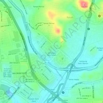
Name: Kampung Baru Rasah topographic map, elevation, terrain.

Location: Kampung Baru Rasah, Seremban, Negeri Sembilan, Malaysia (2.69564 101.92756 2.70411 101.93615)

Average elevation: 60 m

Minimum elevation: 34 m

Maximum elevation: 119 m

Other topographic maps

Click on a map to view its topography, its elevation and its terrain.

Bukit Temiang

Malaysia > Negeri Sembilan > Seremban

Average elevation: 221 m

Bukit Mutiara

Malaysia > Negeri Sembilan > Seremban

Average elevation: 186 m

Gear up for your next adventure:

🧤Rechargeable Heated Gloves - Extreme warmth for Canadian winter expeditions
🥾Mountaineering Boots - Supportive boots for climbing and high-altitude hiking
🥾Light Hiking Boots - Lightweight and comfortable boots for day hikes
💡LED Headlamp - Hands-free illumination for night hiking and camping
🚲MTB Frame Bag - Carry tools and maps directly on your bicycle frame

As an Amazon Associate, this site earns from qualifying purchases at no extra cost to you.