
Seremban Lake Garden Park topographic map
Interactive map
Click on the map to display elevation.
About this map
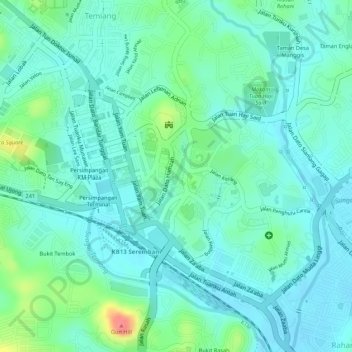
Name: Seremban Lake Garden Park topographic map, elevation, terrain.
Average elevation: 65 m
Minimum elevation: 46 m
Maximum elevation: 119 m
Other topographic maps
Click on a map to view its topography, its elevation and its terrain.
Pinggiran Senawang 4 Park
Malaysia > Negeri Sembilan > Seremban
Pinggiran Senawang 4 Park, Taman Senawang Perdana, Sungai Gadut, Seremban, Negeri Sembilan, Malaysia
Average elevation: 59 m
Taman Bandar Senawang Lake
Malaysia > Negeri Sembilan > Seremban
Taman Bandar Senawang Lake, Seremban, Negeri Sembilan, Malaysia
Average elevation: 83 m
Gunung Pasir
Malaysia > Negeri Sembilan > Seremban
Gunung Pasir, Seremban, Negeri Sembilan, Malaysia
Average elevation: 650 m