Geolocate

Limp topographic map

Click on the map to display elevation.

About this map

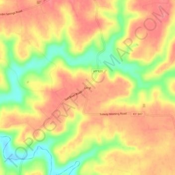
Name: Limp topographic map, elevation, terrain.

Location: Limp, Hardin County, Kentucky, United States (37.57228 -86.21747 37.61228 -86.17747)

Average elevation: 211 m

Minimum elevation: 163 m

Maximum elevation: 239 m

Other topographic maps

Click on a map to view its topography, its elevation and its terrain.

Elizabethtown

United States > Kentucky > Hardin County

Average elevation: 241 m

Radcliff

United States > Kentucky > Hardin County

Average elevation: 223 m

Elizabethtown

United States > Kentucky > Hardin County

Average elevation: 241 m

West Point

United States > Kentucky > Hardin County

Average elevation: 163 m

Radcliff

United States > Kentucky > Hardin County

Average elevation: 223 m

Vine Grove

United States > Kentucky > Hardin County

Average elevation: 218 m

Gear up for your next adventure:

Tent Footprint - Protect tent floor and increase durability
🔨Vehicle Emergency Tool - Safety tool for remote road trips to trailheads
🥾Approach Shoes - Shoes designed for climbing approaches and rugged trails
🪑Ultralight Camping Stool - Compact seating for rest stops during long hikes
🐕Hiking Dog Pack - Let your canine companion carry their own water and food

As an Amazon Associate, this site earns from qualifying purchases at no extra cost to you.