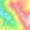
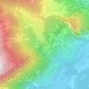
Martigny-Combe topographic map
Click on the map to display elevation.
Martigny-Combe
The municipality is located in the Martigny district. The western boundary of the municipality is the Trient river and the eastern is the Dranse. It climbs from the Rhone valley up to an elevation of 2,700 m (8,900 ft). It lies at the intersection of two major, international transportation routes, the Great St. Bernard Pass into Italy and the Col de la Forclaz into France. It consists of the main village of La Croix along with the villages of Le Brocard, Le Borgeaud, Les Rappes, Le Fays and Ravoireand and the hamlets of Plan-Cerisier, Le Perrey and La Crettaz.
About this map
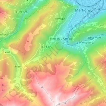
Name: Martigny-Combe topographic map, elevation, terrain.
Location: Martigny-Combe, Martigny, Wallis, Switzerland (46.02298 6.98509 46.11156 7.07599)
Average elevation: 1,472 m
Minimum elevation: 459 m
Maximum elevation: 2,848 m
Other topographic maps
Click on a map to view its topography, its elevation and its terrain.
Col de la Forclaz
Switzerland > Wallis > Martigny > Trient > Col de la Forclaz
Average elevation: 1,637 m