Geolocate

Dugny topographic map

Click on the map to display elevation.

About this map

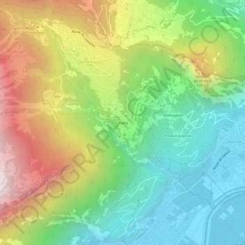
Name: Dugny topographic map, elevation, terrain.

Location: Dugny, Ovronnaz, Leytron, Martigny, Wallis, 1911, Switzerland (46.16903 7.16050 46.20903 7.20050)

Average elevation: 1,074 m

Minimum elevation: 464 m

Maximum elevation: 2,044 m

Gear up for your next adventure:

🧴Bear Spray Holster - Quick-access carry for essential Canadian wilderness safety
🧥Softshell Hiking Jacket - The perfect balance of wind protection and breathability
🧰Survival Kit - Essential gear for emergencies in the wilderness
🛶Canoe Life Vest - Safety vest for water sports
🔋Lithium AA Batteries - Long-lasting power that performs in extreme cold

As an Amazon Associate, this site earns from qualifying purchases at no extra cost to you.