Geolocate

Ramsey topographic map

Click on the map to display elevation.

About this map
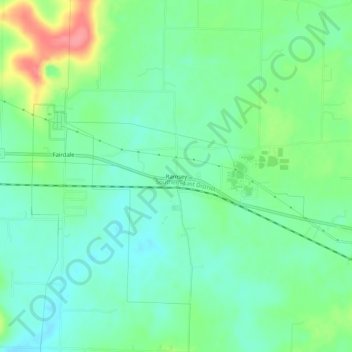
Name: Ramsey topographic map, elevation, terrain.

Location: Ramsey, Harrison County, Indiana, 47166, United States (38.30368 -86.17470 38.34368 -86.13470)

Average elevation: 221 m

Minimum elevation: 196 m

Maximum elevation: 278 m

Other topographic maps

Click on a map to view its topography, its elevation and its terrain.
Corydon

United States > Indiana > Harrison County

Average elevation: 196 m

Elizabeth

United States > Indiana > Harrison County

Average elevation: 236 m

Lanesville

United States > Indiana > Harrison County

Average elevation: 239 m

Mauckport

United States > Indiana > Harrison County

Average elevation: 146 m

Palmyra

United States > Indiana > Harrison County

Average elevation: 236 m

Lanesville

United States > Indiana > Harrison County

Average elevation: 239 m

Crandall

United States > Indiana > Harrison County

Average elevation: 217 m

Gear up for your next adventure:

🧴First Aid Kit - Essential first aid supplies for outdoor emergencies
⛺Camping Groundsheet - Protect your tent from moisture and dirt
🏃Hydration Running Vest - Carry water and maps close to your body for speed
🥾Mountain Trail Shoes - High-traction shoes for mountain trails
⛺Tent Footprint - Protect tent floor and increase durability

As an Amazon Associate, this site earns from qualifying purchases at no extra cost to you.