
Parangloe topographic map
Click on the map to display elevation.
About this map
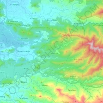
Name: Parangloe topographic map, elevation, terrain.
Location: Parangloe, Gowa, South Sulawesi, Sulawesi, Indonesia (-5.28266 119.57597 -5.15368 119.78123)
Average elevation: 272 m
Minimum elevation: 12 m
Maximum elevation: 1,143 m
Other topographic maps
Click on a map to view its topography, its elevation and its terrain.