
Egbedore topographic map
Interactive map
Click on the map to display elevation.
About this map
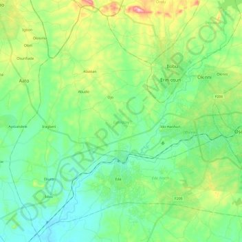
Name: Egbedore topographic map, elevation, terrain.
Location: Egbedore, Osun State, Nigeria (7.67856 4.32857 7.89842 4.56111)
Average elevation: 314 m
Minimum elevation: 238 m
Maximum elevation: 516 m
Other topographic maps
Click on a map to view its topography, its elevation and its terrain.
Ifewara
Nigeria > Osun State > Atakunmosa West
Ifewara, Atakunmosa West, Osun State, Nigeria
Average elevation: 338 m
Ilesa
Nigeria > Osun State > Ilesha West
Ilesa, Ilesha West, Osun State, Nigeria
Average elevation: 354 m