
Iragbiji topographic map
Interactive map
Click on the map to display elevation.
About this map
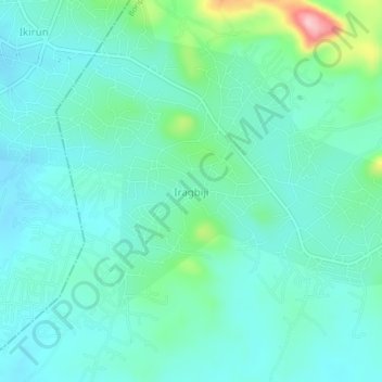
Name: Iragbiji topographic map, elevation, terrain.
Location: Iragbiji, Boripe, Osun State, Nigeria (7.88000 4.66333 7.92000 4.70333)
Average elevation: 401 m
Minimum elevation: 365 m
Maximum elevation: 548 m