
Longi topographic map
Click on the map to display elevation.
About this map
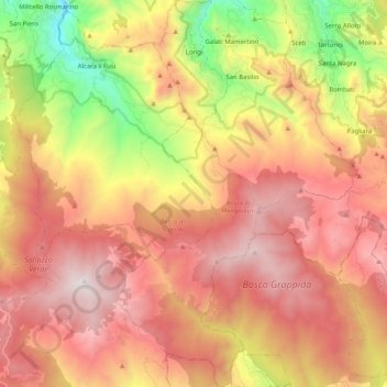
Name: Longi topographic map, elevation, terrain.
Location: Longi, Messina, Sicily, 98070, Italy (37.88798 14.71042 38.04841 14.78837)
Average elevation: 1,102 m
Minimum elevation: 158 m
Maximum elevation: 1,846 m
Other topographic maps
Click on a map to view its topography, its elevation and its terrain.