
Samata topographic map
Click on the map to display elevation.
About this map
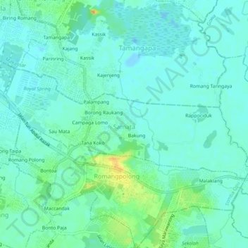
Name: Samata topographic map, elevation, terrain.
Location: Samata, Somba Opu, Gowa, South Sulawesi, Sulawesi, Indonesia (-5.20453 119.47726 -5.18507 119.52132)
Average elevation: 9 m
Minimum elevation: -5 m
Maximum elevation: 35 m
Other topographic maps
Click on a map to view its topography, its elevation and its terrain.