Geolocate

Nisku topographic map

Click on the map to display elevation.

Nisku

Nisku is a hamlet and an industrial/business park in Alberta, Canada, within Leduc County. It has an elevation of 705 metres (2,313 ft).

Wikipedia (CC-BY-SA 3.0)

About this map

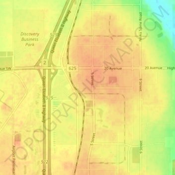
Name: Nisku topographic map, elevation, terrain.

Location: Nisku, Leduc County, Alberta, T9E 0W8, Canada (53.31333 -113.55333 53.35333 -113.51333)

Average elevation: 714 m

Minimum elevation: 689 m

Maximum elevation: 724 m

Other topographic maps

Click on a map to view its topography, its elevation and its terrain.

Hamlet of New Sarepta

Canada > Alberta > Leduc County

Average elevation: 770 m

Looma

Canada > Alberta > Leduc County

Average elevation: 761 m

Wizard Lake

Canada > Alberta > Leduc County

Average elevation: 811 m

Looma

Canada > Alberta > Leduc County

Average elevation: 761 m

Buckinghorse Lake

Canada > Alberta > Leduc County

Average elevation: 783 m

Gear up for your next adventure:

🔥Emergency Fire Starter - Reliable ignition source for all weather conditions
🕶️Polarized Sunglasses - Reduces glare from snow and water at high elevations
🔭Compact Binoculars - Lightweight optics for scouting trails and wildlife
🧥Thermal Fleece Jacket - Versatile insulation for changing mountain temperatures
🧥Ultralight Puffy Jacket - Maximum warmth that packs down to the size of an orange

As an Amazon Associate, this site earns from qualifying purchases at no extra cost to you.