
Buckinghorse Lake topographic map
Interactive map
Click on the map to display elevation.
About this map
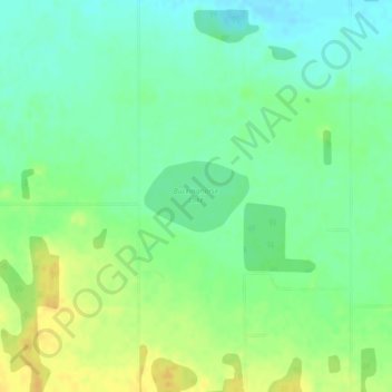
Name: Buckinghorse Lake topographic map, elevation, terrain.
Location: Buckinghorse Lake, Leduc County, Alberta, Canada (53.14680 -113.90212 53.15170 -113.89002)
Average elevation: 783 m
Minimum elevation: 771 m
Maximum elevation: 798 m
Other topographic maps
Click on a map to view its topography, its elevation and its terrain.
Wizard Lake
Canada > Alberta > Leduc County
Wizard Lake, Leduc County, Alberta, Canada
Average elevation: 811 m