
Make a donation
Gear up for your next adventure:
As an Amazon Associate, this site earns from qualifying purchases at no extra cost to you.
Blackfoot topographic map
Click on the map to display elevation.
Make a donation
Gear up for your next adventure:
As an Amazon Associate, this site earns from qualifying purchases at no extra cost to you.
About this map
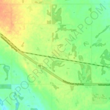
Name: Blackfoot topographic map, elevation, terrain.
Location: Blackfoot, Division No. 10, Alberta, T0B 0L0, Canada (53.26859 -110.19404 53.30859 -110.15404)
Average elevation: 677 m
Minimum elevation: 661 m
Maximum elevation: 695 m
Division No. 10 trails, hiking, mountain biking, running and outdoor activities
Make a donation
Gear up for your next adventure:
As an Amazon Associate, this site earns from qualifying purchases at no extra cost to you.
Other topographic maps
Click on a map to view its topography, its elevation and its terrain.
Make a donation
Gear up for your next adventure:
As an Amazon Associate, this site earns from qualifying purchases at no extra cost to you.