Geolocate

Kings Ferry topographic map

Click on the map to display elevation.

About this map

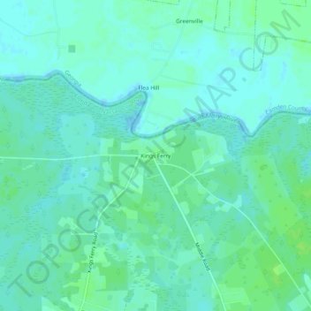
Name: Kings Ferry topographic map, elevation, terrain.

Location: Kings Ferry, Nassau County, Florida, United States (30.76428 -81.85820 30.80428 -81.81820)

Average elevation: 4 m

Minimum elevation: -3 m

Maximum elevation: 10 m

Other topographic maps

Click on a map to view its topography, its elevation and its terrain.

Hilliard

United States > Florida > Nassau County

Average elevation: 21 m

Callahan

United States > Florida > Nassau County

Average elevation: 6 m

Yulee

United States > Florida > Nassau County > Yulee

Average elevation: 6 m

Yulee

United States > Florida > Nassau County

Average elevation: 6 m

Callahan

United States > Florida > Nassau County

Average elevation: 6 m

Hilliard

United States > Florida > Nassau County

Average elevation: 21 m

Gear up for your next adventure:

🎒Fully Waterproof Backpack - Total protection for photography gear and electronics
🚲Heavy Duty Bike Lock - Secure your bike at the trailhead or during stops
🧼Biodegradable Camp Soap - Environmentally friendly cleaning for gear and body
🧦Crew Hiking Socks - Comfortable socks for long-distance hikes
🥾Waterproof Trail Shoes - Shoes designed to handle wet terrain

As an Amazon Associate, this site earns from qualifying purchases at no extra cost to you.