
寿山乡 topographic map
Interactive map
Click on the map to display elevation.
About this map
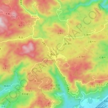
Name: 寿山乡 topographic map, elevation, terrain.
Location: 寿山乡, 福州市, 福建省, 中国 (26.14964 119.23402 26.22964 119.31402)
Average elevation: 397 m
Minimum elevation: 24 m
Maximum elevation: 780 m
Other topographic maps
Click on a map to view its topography, its elevation and its terrain.