
白眉水库 topographic map
Interactive map
Click on the map to display elevation.
About this map
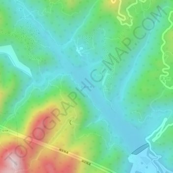
Name: 白眉水库 topographic map, elevation, terrain.
Location: 白眉水库, 亭江镇, 马尾区, 福州市, 福建省, 中国 (26.09266 119.43464 26.11358 119.45787)
Average elevation: 143 m
Minimum elevation: 6 m
Maximum elevation: 461 m
Other topographic maps
Click on a map to view its topography, its elevation and its terrain.