Dagestan topographic maps
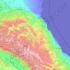
Click on a map to view its topography, its elevation and its terrain.
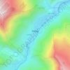
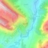
Kurush
Russia > Dagestan > Dokuzparinsky District
Kurush (Russian: Куруш; Lezgian: Къуруш) is a mountain village located in the Dokuzparinsky District, in southern Dagestan. Situated at 2480–2560 m above sea level depending on the source (topographical maps show the center at about 2530 m), it is the highest continuously inhabited settlement of…
Average elevation: 2,495 m





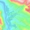
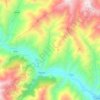
Kazbekovsky District
The district is in rugged terrain in the forested foothills of Degestan, 50 km west of the Caspian Sea. The average height is 500 to 1,000 meters above sea level, with higher elevations reaching 1,900 meters. There are many river valleys, canyons, and gulleys cutting the landscape with fast-moving streams. The…
Average elevation: 449 m