Lombardy topographic maps
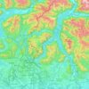
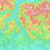
Click on a map to view its topography, its elevation and its terrain.
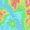
Lecco
The territory has a very variable altimeter distribution: it ranges from 198 meters above sea level in the lake area to the maximum altitude of 1875 meters above the sea level of Mount Resegone and this condition offers the city three different areas characterized by different morphologic and climatic…
Average elevation: 575 m




Livigno
Only three roads lead to the town. Two link to Switzerland, one through the Forcola di Livigno, elevation 2,315 m (7,595 ft) and open in summer only, and the second through the Munt la Schera Tunnel. The third road connects to other parts of Italy through the Foscagno Pass, elevation 2,291 m (7,516 ft).
Average elevation: 2,388 m