
Make a donation
Gear up for your next adventure:
As an Amazon Associate, this site earns from qualifying purchases at no extra cost to you.
Livigno topographic map
Click on the map to display elevation.
Make a donation
Gear up for your next adventure:
As an Amazon Associate, this site earns from qualifying purchases at no extra cost to you.
Livigno
Only three roads lead to the town. Two link to Switzerland, one through the Forcola di Livigno, elevation 2,315 m (7,595 ft) and open in summer only, and the second through the Munt la Schera Tunnel. The third road connects to other parts of Italy through the Foscagno Pass, elevation 2,291 m (7,516 ft).
Make a donation
Gear up for your next adventure:
As an Amazon Associate, this site earns from qualifying purchases at no extra cost to you.
About this map
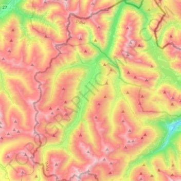
Name: Livigno topographic map, elevation, terrain.
Average elevation: 2,388 m
Minimum elevation: 1,412 m
Maximum elevation: 3,255 m
Make a donation
Gear up for your next adventure:
As an Amazon Associate, this site earns from qualifying purchases at no extra cost to you.