
Hefei City topographic map
Interactive map
Click on the map to display elevation.
About this map
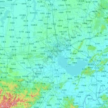
Name: Hefei City topographic map, elevation, terrain.
Location: Hefei City, Anhui, China (30.95306 116.68139 32.54149 117.96878)
Average elevation: 75 m
Minimum elevation: 0 m
Maximum elevation: 1,512 m
Other topographic maps
Click on a map to view its topography, its elevation and its terrain.