
Pigeon River topographic map
Interactive map
Click on the map to display elevation.
About this map
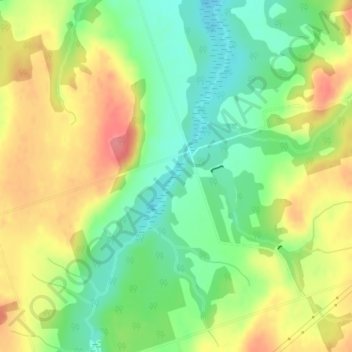
Name: Pigeon River topographic map, elevation, terrain.
Location: Pigeon River, Kawartha Lakes, Ontario, Canada (44.13602 -78.68866 44.14401 -78.68286)
Average elevation: 290 m
Minimum elevation: 255 m
Maximum elevation: 331 m
Ontario trails, hiking, mountain biking, running and outdoor activities
Other topographic maps
Click on a map to view its topography, its elevation and its terrain.