
Hay-Zama Wildland Provincial Park topographic map
Interactive map
Click on the map to display elevation.
About this map
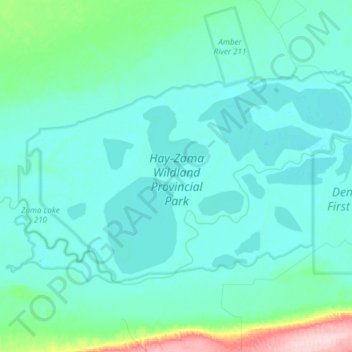
Name: Hay-Zama Wildland Provincial Park topographic map, elevation, terrain.
Average elevation: 342 m
Minimum elevation: 322 m
Maximum elevation: 546 m
Other topographic maps
Click on a map to view its topography, its elevation and its terrain.
Meander River
Canada > Alberta > Mackenzie County > Meander River
Meander River, Mackenzie County, Alberta, Canada
Average elevation: 325 m
John D'Or Prairie
Canada > Alberta > Mackenzie County > John D'Or Prairie
John D'Or Prairie, Mackenzie County, Alberta, Canada
Average elevation: 281 m
Chateh
Canada > Alberta > Mackenzie County > Chateh
Chateh, Mackenzie County, Alberta, Canada
Average elevation: 338 m