
Inveruglas topographic map
Interactive map
Click on the map to display elevation.
About this map
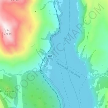
Name: Inveruglas topographic map, elevation, terrain.
Location: Inveruglas, Argyll and Bute, Scotland, G83 7DW, United Kingdom (56.23174 -4.72788 56.27174 -4.68788)
Average elevation: 186 m
Minimum elevation: 4 m
Maximum elevation: 779 m