Geolocate

Champion topographic map

Click on the map to display elevation.

About this map

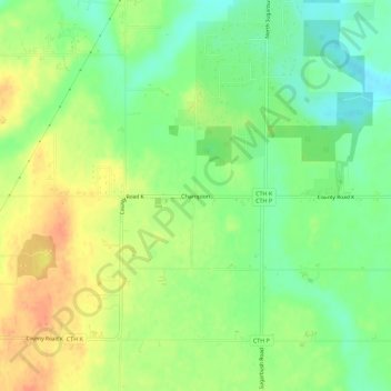
Name: Champion topographic map, elevation, terrain.

Location: Champion, Town of Green Bay, Brown County, Wisconsin, United States (44.56923 -87.81446 44.60923 -87.77446)

Average elevation: 235 m

Minimum elevation: 214 m

Maximum elevation: 258 m

Other topographic maps

Click on a map to view its topography, its elevation and its terrain.

Suamico

United States > Wisconsin > Brown County

Average elevation: 187 m

Ashwaubenon

United States > Wisconsin > Brown County

Average elevation: 190 m

Wrightstown

United States > Wisconsin > Brown County

Average elevation: 199 m

Allouez

United States > Wisconsin > Brown County

Average elevation: 185 m

Bellevue

United States > Wisconsin > Brown County

Average elevation: 215 m

Denmark

United States > Wisconsin > Brown County

Average elevation: 262 m

Gear up for your next adventure:

🧥Softshell Jacket - Windproof and breathable jacket for hiking
🛶Kayak Accessories - Essential gear for safe and fun kayaking adventures
💧Reusable Water Bottle - Durable water bottles for hydration on trails
🥾Trekking Poles - Adjustable trekking poles to reduce knee stress and improve stability
💡Compact LED Flashlight - Powerful and portable flashlight for outdoor use

As an Amazon Associate, this site earns from qualifying purchases at no extra cost to you.