Geolocate

Denmark topographic map

Click on the map to display elevation.

About this map

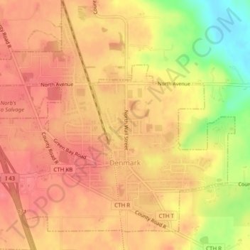
Name: Denmark topographic map, elevation, terrain.

Location: Denmark, Brown County, Wisconsin, United States (44.33826 -87.84830 44.36592 -87.80997)

Average elevation: 262 m

Minimum elevation: 212 m

Maximum elevation: 282 m

Other topographic maps

Click on a map to view its topography, its elevation and its terrain.

Gear up for your next adventure:

🧼Biodegradable Camp Soap - Environmentally friendly cleaning for gear and body
🥾Trail Running Shoes - Lightweight and durable shoes for trail running
🩹Moleskin Blister Pads - Direct protection for painful foot pressure points
🧦Outdoor Socks - Durable socks designed for hiking and outdoor sports
🛁Quick-Dry Microfiber Towel - Space-saving towel that dries rapidly on the move

As an Amazon Associate, this site earns from qualifying purchases at no extra cost to you.