Geolocate

Brin topographic map

Click on the map to display elevation.

About this map

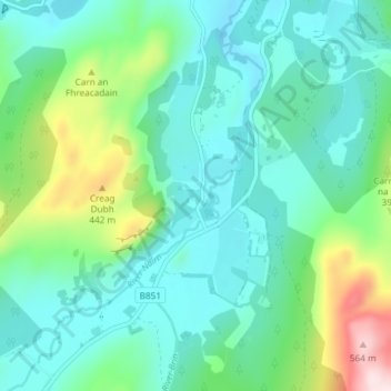
Name: Brin topographic map, elevation, terrain.

Location: Brin, Highland, Scotland, IV2 6XE, United Kingdom (57.31924 -4.23427 57.35924 -4.19427)

Average elevation: 283 m

Minimum elevation: 197 m

Maximum elevation: 579 m

Gear up for your next adventure:

💧Collapsible Water Bottle - Space-saving water bottle for outdoor activities
🧤Rechargeable Heated Gloves - Extreme warmth for Canadian winter expeditions
🛶Kayak Dry Bag - Waterproof storage for kayaking adventures
🧢Hiking Hat - Sun-protective and breathable hats for long treks
💧Filtered Water Bottle - Safe drinking water on the go

As an Amazon Associate, this site earns from qualifying purchases at no extra cost to you.