Geolocate

Brooklyn topographic map

Click on the map to display elevation.

About this map

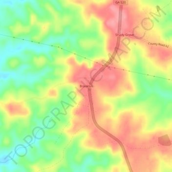
Name: Brooklyn topographic map, elevation, terrain.

Location: Brooklyn, Stewart County, Georgia, United States (32.15377 -84.72853 32.19377 -84.68853)

Average elevation: 173 m

Minimum elevation: 123 m

Maximum elevation: 216 m

Other topographic maps

Click on a map to view its topography, its elevation and its terrain.

Canyons

United States > Georgia > Stewart County

Average elevation: 161 m

Richland

United States > Georgia > Stewart County

Average elevation: 162 m

Gear up for your next adventure:

🗺️Topographic Maps - Detailed maps to explore trails, mountains, and wilderness areas
🥾Light Trekking Boots - Supportive boots for multi-day treks
🥾Waterproof Hiking Boots - Essential footwear for rugged terrain and wet Canadian trails
🔪Outdoor Multitool - Versatile tool for repairs and food prep in the wild
🥾Trail Hiking Shoes - Durable shoes designed for rugged trails

As an Amazon Associate, this site earns from qualifying purchases at no extra cost to you.